

Mumbai's Koliwada demarcation, stalled for 12 years, to be completed in three months
Revenue Minister Chandrashekhar Bawankule has decided to finish marking the boundaries of Mumbai's traditional fishing villages within three months.
 Images are not validated/verified
The process of fixing the boundaries of Mumbai's traditional Koliwadas had been stuck for 12 years. The way has now opened for it to move ahead. State Revenue Minister Chandrashekhar Bawankule has taken an important decision on the matter. He has decided that the demarcation of the Koliwadas will be completed in the next three months. The decision is expected to clear the way for fixing the land boundaries of the Koli community's traditional settlements in Mumbai.
Under the decision, work on fixing the boundaries of the Koliwadas at Sewri, Sion, Colaba, Mahim, Mahim Market and Mandvi will be speeded up. A decision has also been taken to demarcate the boundaries of the Koliwadas at Princess Dock Mandvi, Worli and Cuffe Parade.
Mumbai's Koliwadas have historical and cultural importance. But in many places, because land boundaries are not clear, residents face a range of administrative problems. Officially fixing the boundaries of the Koliwadas is therefore considered necessary.
The demarcation issue has dragged on for years. The process for the Koliwadas of Mumbai began in 2012. The actual measurement was carried out in 2018-19, and maps became available around 2022. However, local residents lodged objections to some boundaries, so the process has so far not been entirely free of dispute. Claims by various government agencies over Koliwada land are also a major challenge. Objections by MHADA, the Mumbai Port Trust and other authorities over the land of some Koliwadas have earlier been raised in the Legislative Council.
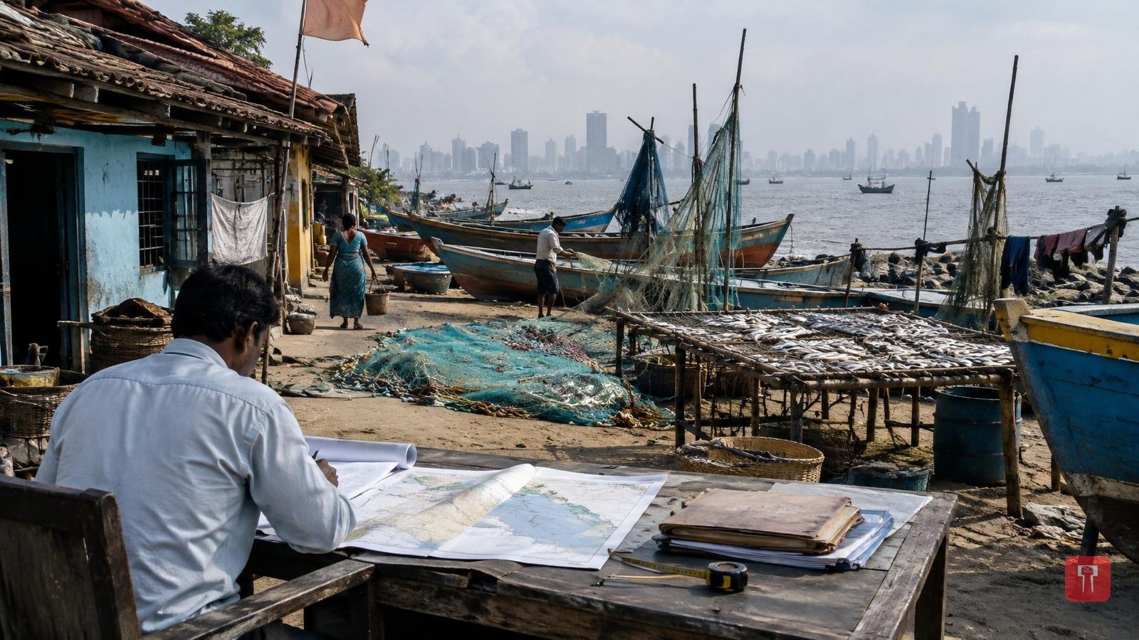
Koliwadas are not merely residential areas; they are an important part of Mumbai's cultural and historical identity. The Koli community uses these areas for many livelihoods, such as fishing, drying fish, keeping boats and maintaining nets. Koli community organisations are therefore demanding that, during demarcation, not only residential buildings be considered but also the spaces used for traditional occupations be counted.
If the boundaries of the Koliwadas are officially fixed, it could help clean up land records. Official maps could also support future development work, redevelopment projects and decisions on land use. However, completion of demarcation does not mean that ownership of those lands will automatically pass to the residents. A separate process may be needed for ownership rights and other legal questions.
The three-month deadline set by Revenue Minister Chandrashekhar Bawankule is expected to speed up the stalled process. Even so, historical documents, local residents' objections and the claims of various authorities will have to be considered during demarcation. The Koli community of Mumbai is now watching how quickly the actual measurement, scrutiny of maps and fixing of final boundaries are completed.
