

Cyclone Murasu to bring three days of rain alerts to many Maharashtra districts
 Images are not validated/verified
The weather department has issued district-wise rain warnings for Monday to Wednesday as Cyclone Murasu intensifies over the Bay of Bengal.
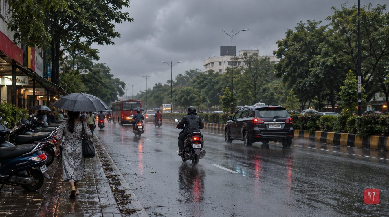
Cyclone Murasu, which formed in the Bay of Bengal, has now intensified, and its effect is likely to be felt in Maharashtra's weather too. Some parts of the state are getting light showers at present, but the rain is not uniform everywhere, and only a few districts are expected to see heavier spells. The weather department has issued rain warnings for different districts for three days, Monday, Tuesday and Wednesday. People in the state may therefore have to contend with rain over the next few days.
On Monday, November 2, heavy rain has been forecast for Pune district. Thunderstorms with rain are possible in Raigad, Ratnagiri, Sindhudurg, Kolhapur, Kolhapur ghat areas, Satara ghat areas, Pune ghat areas, Ahilyanagar, Sangli, Satara, Latur and Dharashiv districts. Light showers with lightning are expected in Nanded, Nashik ghat areas, Solapur and Nashik districts.
On Tuesday, November 3, a warning of rain with lightning has been issued for Sindhudurg, Kolhapur, Kolhapur ghat areas, Latur, Nanded, Yavatmal, Chandrapur and Gadchiroli districts. Light rain is likely in Nashik ghat areas, Nashik, Pune ghat areas, Satara ghat areas, Ratnagiri, Sangli, Satara, Pune, Ahilyanagar, Solapur, Chhatrapati Sambhajinagar, Jalna, Parbhani, Hingoli, Beed and Dharashiv districts.
On Wednesday, November 4, too, the rain warning will remain in place for many districts. An alert for rain with lightning is in force for Kolhapur, Kolhapur ghat areas, Washim, Yavatmal, Chandrapur and Gadchiroli districts. Light showers are expected in Ratnagiri, Sindhudurg, Nashik ghat areas, Nashik, Pune ghat areas, Satara ghat areas, Satara, Sangli, Pune, Ahilyanagar, Solapur, Chhatrapati Sambhajinagar, Jalna, Beed, Dharashiv, Latur, Hingoli, Nanded and Parbhani districts.
As for Murasu, early on Monday the storm turned into a severe cyclonic storm over the west-central Bay of Bengal. At that time its centre was 160 km south-east of Nellore in Andhra Pradesh, 180 km north-east of Chennai, 180 km south-east of Kavali, 210 km south-east of Ongole and 240 km south of Machilipatnam.
According to the weather department, the storm may move north-westward. It is expected to cross the south Andhra Pradesh coast as a severe cyclonic storm between Nellore and Narasapur, south of Ongole, between 11.30 pm on Monday and 4 am on Tuesday. Wind speeds at that time will be 100 to 110 km per hour, with gusts of up to 120 km per hour.
The storm is likely to weaken after crossing the coast. By early Tuesday, wind speeds will drop to 70 to 80 km per hour and it will turn into a cyclonic storm. By Tuesday evening it is likely to weaken further into a deep depression. The weather department has forecast that by early November 4 it will become a depression.
Reach readers on the ward they actually live in.
Advertise with Prime Time 24Reach readers on the ward they actually live in.
Advertise with Prime Time 24Reach readers on the ward they actually live in.
Advertise with Prime Time 24
Comments
No comments yet. Be the first.