

Cyclone Murasu: Rain warning for several Maharashtra districts over next three days
 Images are not validated/verified
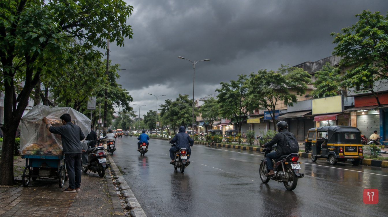
The weather department has warned of thunderstorms and light showers on November 3, 4 and 5 in parts of Konkan, western Maharashtra, Marathwada and Vidarbha.
Maharashtra's weather has turned suddenly with the start of November. The cold has eased in many parts of the state and temperatures are fluctuating. Severe Cyclonic Storm Murasu in the Bay of Bengal and cyclonic circulations over the Arabian Sea have created conditions for rain in some parts of the state.
The weather department has forecast rain with lightning in different districts on November 3, 4 and 5. Rain warnings have been issued for some districts of Konkan, western Maharashtra, Marathwada and Vidarbha.
On Tuesday, November 3, a warning of rain with lightning is in place for Sindhudurg, Kolhapur, Kolhapur ghat areas, Latur and Nanded districts. Light showers with lightning are possible in Ratnagiri, Nashik ghat areas, Nashik, Pune ghat areas, Pune, Satara ghat areas, Satara, Sangli, Ahilyanagar, Solapur, Beed, Dharashiv, Parbhani and Hingoli. A yellow alert has been issued for Kolhapur, Kolhapur ghat areas and Sindhudurg. Rain with thunder is also likely in Gadchiroli, Chandrapur, Yavatmal, Nanded and Latur. Many parts of Marathwada may see light showers, clouds and strong winds.
On Wednesday, November 4, light showers with lightning are forecast for Ratnagiri, Sindhudurg, Kolhapur ghat areas, Satara ghat areas, Kolhapur, Satara, Sangli, Solapur, Chhatrapati Sambhajinagar, Jalna, Parbhani, Hingoli, Nanded and Latur. According to the weather department, the weather in the rest of the state is expected to stay mostly dry. A rain warning is also in place for the Vidarbha districts of Yavatmal, Chandrapur, Gadchiroli and Washim, while the yellow alert for Kolhapur district will continue. Strong winds and thunder are likely in Nashik ghat areas, Ratnagiri, Sindhudurg, Satara ghat areas and Sangli. Beed, Solapur, Dharashiv, Latur, Parbhani, Hingoli, Nanded, Ahilyanagar and Chhatrapati Sambhajinagar may also get thundery rain. There is no significant rain warning for Jalgaon, Buldhana, Dhule and Nandurbar districts during this period.
On Thursday, November 5, light showers are possible in Sindhudurg, Kolhapur and Kolhapur ghat areas. Over the next three days, parts of the state may thus see intermittent rain, clouds and lightning.
Cyclone Murasu, the severe cyclonic storm in the Bay of Bengal, moved north-northwest at 8 km/h over the past six hours. At 8.30 am on November 3, it was 30 km north-northeast of Ongole, 40 km southwest of Bapatla, 90 km north-northeast of Kavali, 100 km south-southwest of Vijayawada and 120 km west-southwest of Machilipatnam.
Its maximum sustained wind speed is 95 to 105 km/h, with gusts reaching 115 km/h. It is likely to keep moving north-northwest. It is expected to weaken into a cyclonic storm by the afternoon of November 3, with winds of 80 to 90 km/h and gusts up to 100 km/h. By midnight it is likely to weaken further into a deep depression, with winds of 55 to 65 km/h and gusts up to 75 km/h.
According to the weather department's 11.30 am update on November 2, Murasu was then active over the west-central Bay of Bengal and moving northwest at 14 km/h. It had been expected to cross the south Andhra Pradesh coast between Nellore and Narasapur between midnight on November 2 and the morning of November 3, with winds of 100 to 110 km/h and gusts up to 120 km/h.
In view of the threat, preparations were made to move people in coastal areas of Andhra Pradesh to safety, and the administration focused on evacuating people in time. The region had suffered heavy damage earlier from Cyclone Arnabh. Under Murasu's influence, heavy to very heavy rain was forecast for Andhra Pradesh, Rayalaseema and Telangana on November 2 and 3, with a warning of extremely heavy rain in some places. Heavy rain was forecast for Tamil Nadu on November 2. Winds of up to 80 to 90 km/h were possible on the Andhra Pradesh coast on November 2 and 3.
However, Murasu alone cannot be seen as the reason for the rain in Maharashtra. According to the weather department, a cyclonic circulation has become active about 0.9 km above sea level over the east-central Arabian Sea, off the coast of Karnataka and south Maharashtra. Another cyclonic circulation lies at a height of 3.1 km over the east-central Arabian Sea and its surroundings.
Under the influence of these two systems, conditions favourable for rain have developed in parts of the state, including Konkan and western Maharashtra. Light showers, thunder and strong winds are therefore possible over the next few days depending on local conditions. With rain returning in early November, farmers and the general public should keep track of the forecast for their district.
Reach readers on the ward they actually live in.
Advertise with Prime Time 24Reach readers on the ward they actually live in.
Advertise with Prime Time 24Reach readers on the ward they actually live in.
Advertise with Prime Time 24
Comments
No comments yet. Be the first.