

PMRDA's new GIS portal issues zone and part plan certificates online in seconds
 Images are not validated/verified
The Pune Metropolitan Region Development Authority has begun issuing zone, part plan and site elevation certificates online through a GIS-based geoportal, with no office visit needed.
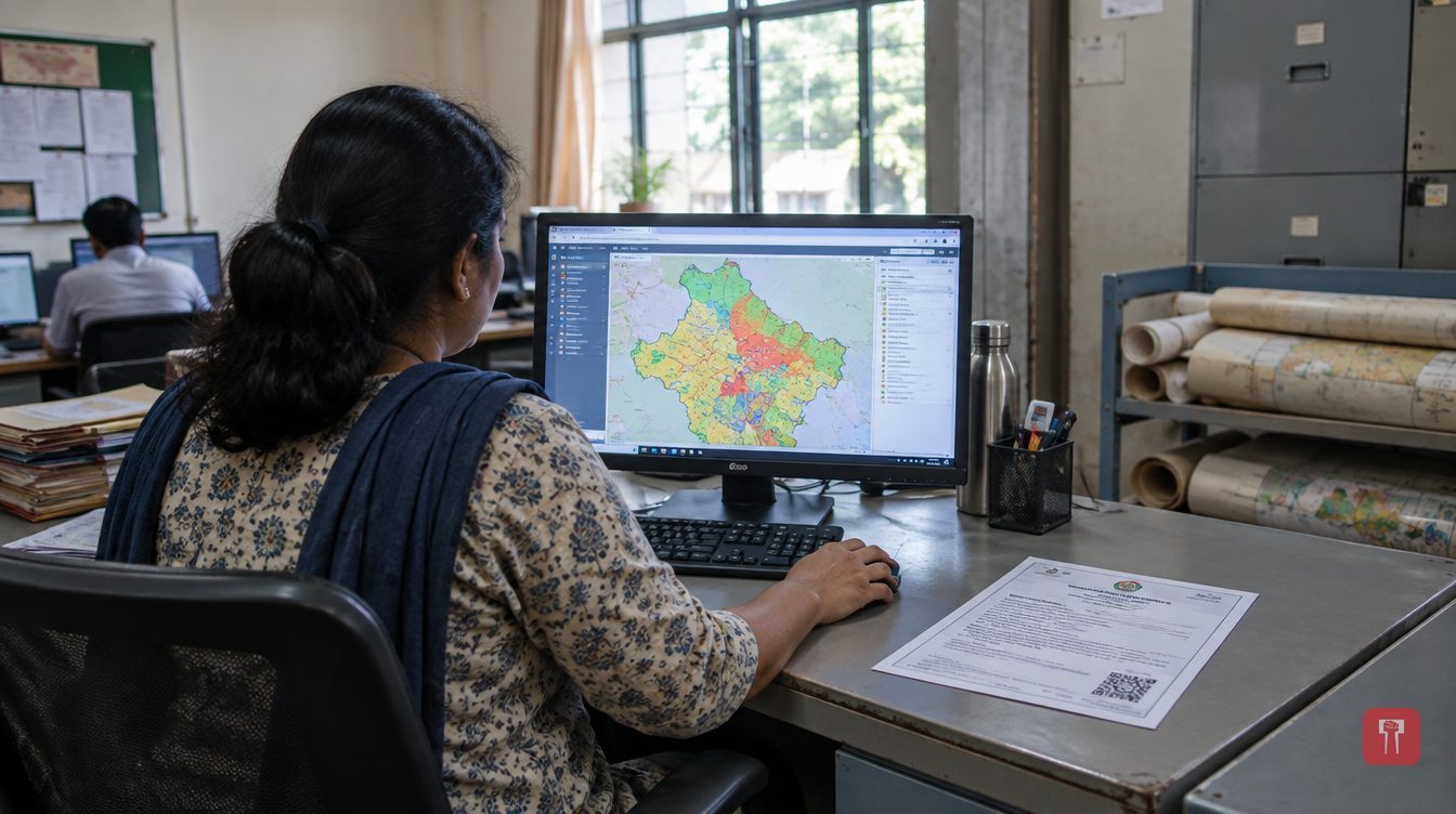
The Pune Metropolitan Region Development Authority (PMRDA) has begun issuing zone certificates, part plans and site elevation certificates online. A new GIS-based geoportal has been built for the purpose. Applicants no longer need to visit the office, and the certificate is generated automatically within a few seconds.
The portal has been developed under the Maharashtra Right to Public Services Act and the state's Government Process Re-engineering (GPR) initiative. PMRDA says it will reduce repeated trips to its offices and the follow-up running around that goes with them.
Until now, staff had to check printed regional development maps by hand for every application. A zone certificate took seven days, a part plan three days and a site elevation certificate up to ten days, because officials also had to assess elevation and ground conditions.
To change this, PMRDA digitised the Pune Regional Plan, which was originally approved in 1997, and loaded it into a GIS system. Site elevation certificates are now generated from a digital elevation model, toposheets and other geospatial data without any human intervention. Those who obtain a zone certificate receive the part plan along with it.
Every certificate carries a QR code and a barcode, which anyone can use to check online, at any time, whether it is genuine. The portal also offers step-by-step guidance, a section of frequently asked questions (FAQ) and a facility to send feedback.
The geoportal has more than 25 map layers. These include the boundaries of 674 villages, metro routes and transit-oriented development (TOD) zones, areas affected by the Purandar airport project, NDA buffer zones, HEMRL boundaries, the limits of wildlife sanctuaries, railway lines, and red and blue flood lines. Citizens can view basic official information on the roads, flood lines, metro routes and regional plan around their plot.
PMRDA officials say standard GIS layers will reduce human error and manual intervention. They expect automation to leave staff with more time for technical checks and complex cases.
PMRDA Metropolitan Commissioner Dr Abhijit Chaudhari said, "Citizens can now get official, preliminary information at the click of a button from home." He also said the authority is committed to digital governance that is transparent, effective and easily accessible.
The authority believes the geoportal could become a model for other regional development authorities and special planning authorities in Maharashtra.
Reach readers on the ward they actually live in.
Advertise with Prime Time 24Reach readers on the ward they actually live in.
Advertise with Prime Time 24Reach readers on the ward they actually live in.
Advertise with Prime Time 24
Comments
No comments yet. Be the first.