

Questions over Google Maps after Gwalior accident that has killed 17
Concerns are growing about navigation apps sending vehicles on wrong or restricted routes, though Google Maps has not been established as the sole cause of the Gwalior crash.
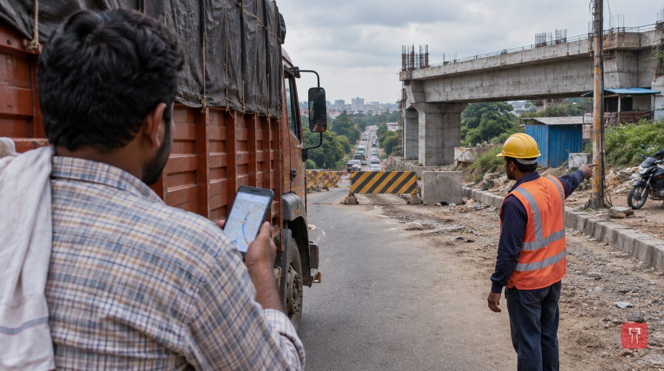 Images are not validated/verified
When people do not know an address, most of them open Google Maps to get there. Chasing shortcuts, many trust "Google Baba" blindly and drive at 100 to 150 kmph. That trust has often proved fatal.
After the latest horrific accident in Gwalior, Madhya Pradesh, serious questions have been raised once again about the reliability of Google Maps. Concern has been expressed that the risk of accidents is growing because vehicles are being taken along wrong routes, unfinished bridges and restricted roads.
The Gwalior incident has shaken the entire country. So far 17 people have died. Even so, it has not been established that Google Maps alone is responsible for the accident. Experts say responsibility should be fixed only after examining the actual cause of the accident, the technical fault in the vehicle and the role of the wrong route.
According to preliminary information from Gwalior CSP Ravi Bhadoria, the trucks, carrying farm produce, were coming from Dabra mandi. The driver was not from the area, so it is presumed that he found the route through Google Maps and chose the shorter one. On reaching the ghat section near the temple, the truck's pressure release system developed a fault. Its brakes failed and the truck ran into a crowded spot, causing the major accident.
A network of highways, expressways and bridges is spreading fast across the country. At the same time, road work is under way in many places, some bridges are unfinished and vehicle movement is barred on some routes. A gap between the digital map and the actual condition of the road has often been seen.
In such conditions, drivers risk getting stranded. The danger can rise especially if heavy vehicles have to pass through narrow roads or steep slopes. It is therefore important to keep navigation app information updated and also to follow road signs and the directions of the local administration.
While using Google Maps, drivers should not rely only on the route shown on the screen. Road signboards, barricading and instructions from the local administration should take precedence. Drivers of heavy vehicles should choose a route suited to the vehicle's size, weight and the road's capacity.
It is also necessary to improve coordination among navigation companies, the roads department and the administration so that information on closed or dangerous routes is updated in time. The Gwalior accident shows that depending blindly on technology can prove costly. Had a safe journey been chosen over a shortcut, many lives could have been saved.
