

How Google Maps knows about a traffic jam ahead: phone data shows how slowly vehicles are moving
 Images are not validated/verified
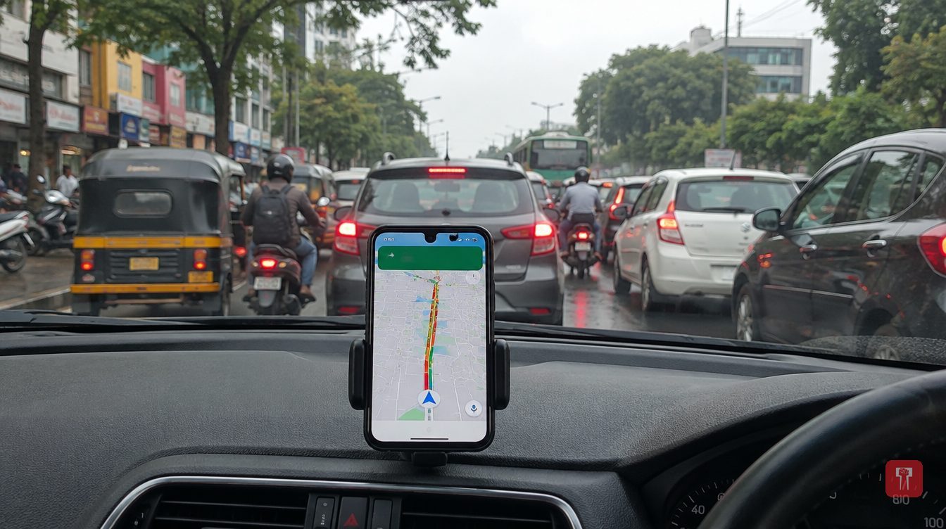
Google Maps reads the speed of traffic from the location data of users' phones, and adds past patterns, user reports and official information to colour roads green, orange or red.
Most people use Google Maps on their daily commute. While checking a route, roads show up in green, orange or red, and these colours give an idea of how much traffic lies ahead. Google has no employee standing on every road, so how does it know where vehicles are stuck?
The biggest role is played by smartphones. When lakhs of people run Google Maps with their location turned on, their movement reveals the speed of vehicles. Suppose hundreds of people are passing along the same road and their phone data shows that speed has dropped sharply. Google then understands that the road has heavy traffic. No separate device needs to be fitted in every vehicle for this.
An example shows how speed is used. If the average speed of vehicles on a road is 50 km per hour and it suddenly falls to 5 to 10 km per hour, Google Maps reads it as a sign of a jam. When similar data comes in from enough users, the road is shown in red or orange on the map.
Google Maps does not depend only on live data. It also retains past traffic records. Google stores patterns of what traffic looks like on which roads at office hours on a Monday morning or when schools let out in the evening. On this basis it can estimate in advance where crowding may build up.
It is not only smartphones. Users can themselves report accidents, vehicle breakdowns, road closures or ongoing road work on the map. Information from the Government of India and local traffic police is also added.
As for what the colours mean, green shows vehicles are moving at normal speed and there is no traffic problem. Orange or yellow means vehicles have slowed and traffic is building up, but there is no major jam. Red means there is very heavy traffic on the road and vehicles are moving very slowly.
Is Google Maps always cent per cent accurate? No. If an accident happens suddenly or the weather turns bad, Maps may take a little time to get the update. On roads where few people use Google Maps, it is hard to get accurate information. The information on Maps is therefore taken as a good estimate, but it is always wise to judge the condition of the road by looking at it yourself.
Reach readers on the ward they actually live in.
Advertise with Prime Time 24Reach readers on the ward they actually live in.
Advertise with Prime Time 24Reach readers on the ward they actually live in.
Advertise with Prime Time 24Choose primetime24.com as a preferred source on Google Google shows more stories from your preferred sources in Top Stories.
Reach readers on the ward they actually live in.
Advertise with Prime Time 24
Comments
No comments yet. Be the first.