

Retreating monsoon rain intensifies, yellow alert for several Maharashtra districts
The India Meteorological Department has issued a yellow alert for heavy rain in several districts over the next 48 hours as the retreating monsoon strengthens.
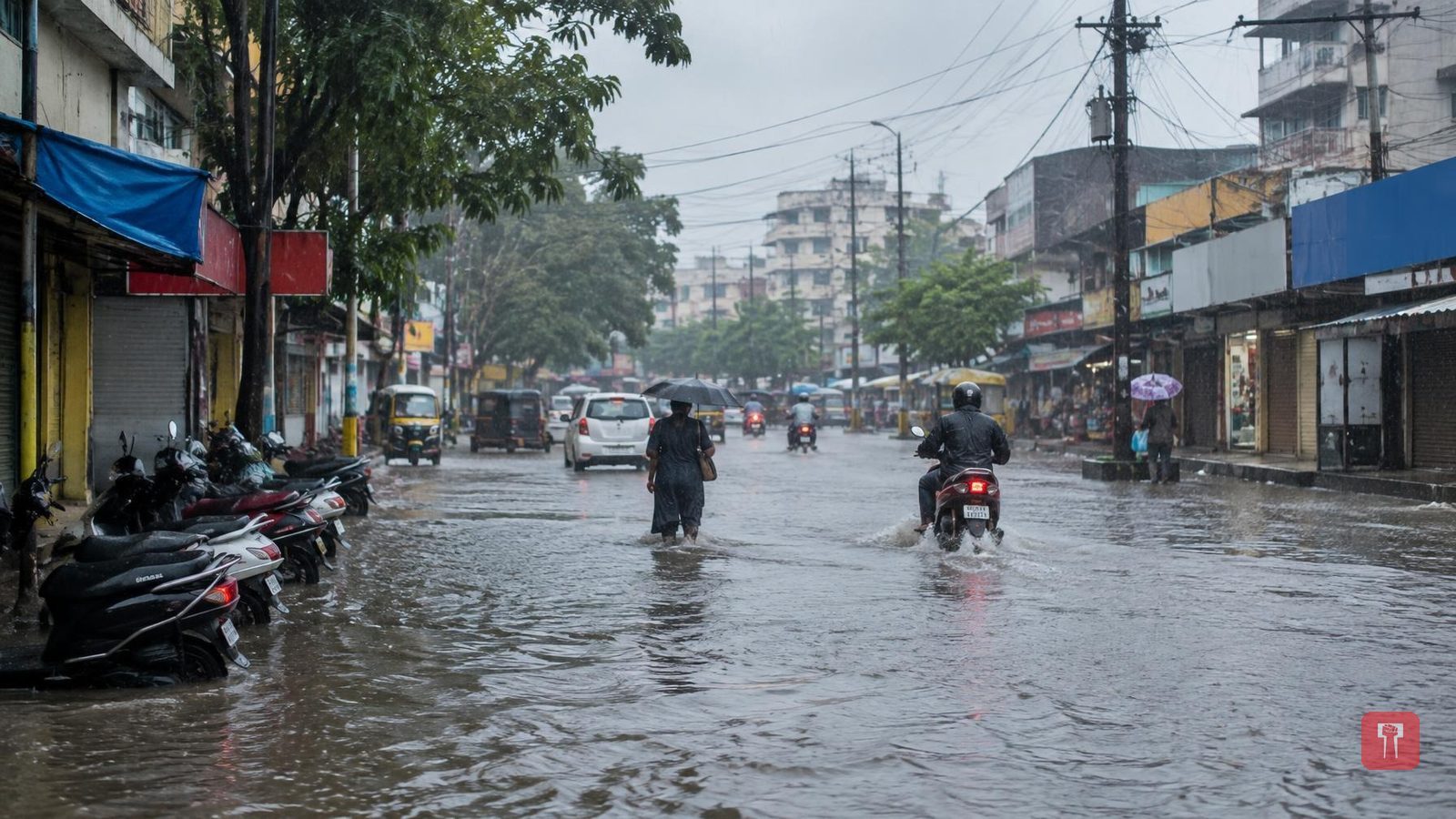
Weather across Maharashtra has changed sharply over the past few days. The retreating monsoon has gathered strength, bringing moderate to heavy showers to many areas, while some regions are still waiting for rain that has so far eluded them. Against this backdrop, the India Meteorological Department has today issued a direct warning of heavy rain in some districts, while forecasting light to moderate rain elsewhere.
According to the department, a yellow alert for heavy rain with gusty winds has been issued for Raigad, Satara, Satara ghat areas, Solapur, Latur, Nanded and Gadchiroli districts. Rain accompanied by thunder and lightning is likely in Mumbai, Thane, Ratnagiri, Sindhudurg, Kolhapur ghat areas, Kolhapur, Sangli, Pune, Pune ghat areas, Nashik, Nashik ghat areas, Ahilyanagar, Chhatrapati Sambhajinagar, Jalna, Beed, Dharashiv, Parbhani, Hingoli, Yavatmal, Wardha, Nagpur, Chandrapur, Bhandara and Gondia districts. Palghar, Dhule, Nandurbar and Jalgaon districts will see light showers.
The rain is expected to continue in many parts of the state on Wednesday as well. Heavy rain is forecast in Sindhudurg, Kolhapur ghat areas, Dharashiv, Latur, Nanded, Yavatmal, Wardha, Chandrapur, Nagpur, Gadchiroli and Gondia districts. Rain with thunder and lightning is expected in Raigad, Ratnagiri, Kolhapur, Satara ghat areas, Pune ghat areas, Nashik ghat areas, Sangli, Satara, Pune, Nashik, Ahilyanagar, Solapur, Chhatrapati Sambhajinagar, Beed, Jalna, Parbhani, Hingoli, Buldhana, Washim, Akola, Amravati and Bhandara districts. Scattered light showers are likely in Jalgaon, Dhule, Palghar, Mumbai and Thane districts.
Meanwhile, the withdrawal line of the southwest monsoon currently passes through Jaisalmer, Nagaur, Sikar, Rohtak, Patiala and Gurdaspur. Over the next two days, conditions are expected to become favourable for the monsoon to withdraw further from the remaining parts of Punjab, Haryana, Chandigarh, Delhi, more parts of Rajasthan, as well as parts of Saurashtra-Kutch, Jammu and Kashmir, Himachal Pradesh, Uttarakhand and western Uttar Pradesh.
Separately, the area of low pressure formed over the west-central and adjoining northwest Bay of Bengal has moved westward at a speed of 18 km per hour over the last six hours. It is currently centred about 200 km southeast of Gopalpur in Odisha, 200 km east-southeast of Kalingapatnam in Andhra Pradesh, 210 km south of Puri in Odisha, and 290 km east of Visakhapatnam in Andhra Pradesh. The India Meteorological Department has forecast that over the next 12 hours, it will move west-northwestwards and intensify into a more severe low-pressure area, and is then likely to cross the north Andhra Pradesh to south Odisha coast between Visakhapatnam and Gopalpur during the night of September 23 and the early hours of September 24.
