

NEERI develops AI dashboard to estimate vehicle emissions from CCTV footage; trial on in 6 Nagpur locations
 Images are not validated/verified
The Nagpur institute's AI-LSEI system identifies and counts vehicles on camera and estimates the pollution they cause, with analysis under way at six city locations.
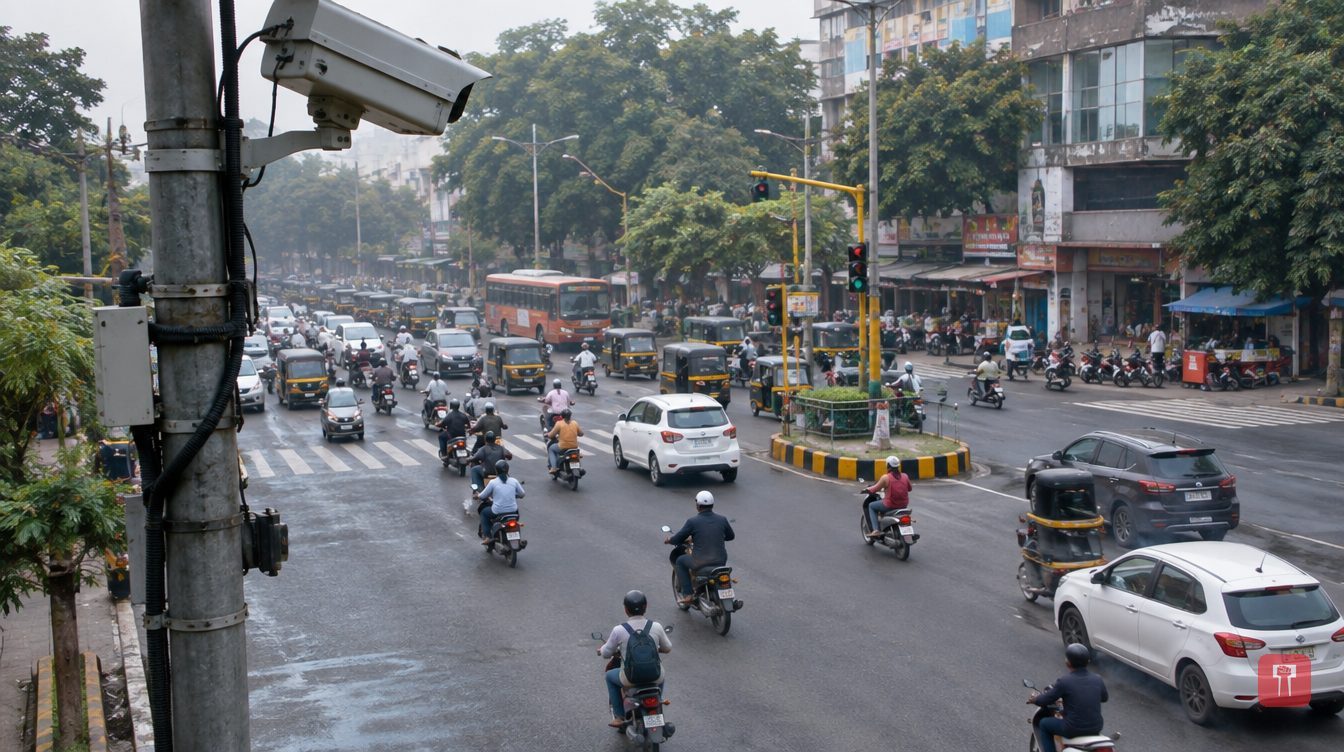
Nagpur, October 31: To keep a watch on the air in cities and calculate emissions from vehicles, the CSIR-National Environmental Engineering Research Institute (NEERI), Nagpur, has developed a new dashboard run on artificial intelligence (AI). It will identify and count vehicles passing on roads through CCTV cameras, and can also estimate the pollution they cause.
The system is called AI-Integrated Line Source Emission Inventory (AI-LSEI). It records the movement of different types of vehicles by analysing CCTV footage and uses this to assess vehicle emissions every hour. Based on scientifically determined emission factors, it calculates pollutants such as particulate matter (PM), nitrogen oxides (NOx), carbon monoxide (CO) and hydrocarbons (HC).
All the data is shown on a GIS-based map. This can show which roads and areas have higher vehicular pollution.
The technology has been developed by a team from NEERI's Air Quality Management Division under the guidance of the institute's director, S. Venkata Mohan. The team includes Senior Scientist Rahul Vyavahare, Chief Scientist KV George, Jay Singh Rajput, Atharv Malode, Raj Sonarghare and Pranav V. Nair.
According to a senior NEERI scientist, the AI-LSEI dashboard has already been deployed in about 12 to 13 cities across the country, including large cities such as Delhi, Mumbai and Hyderabad. Traffic movement and vehicle emissions are being analysed from CCTV footage in these cities.
To use it in Nagpur, NEERI has approached the Nagpur Municipal Corporation (NMC). For now, footage from six different locations in the city is being analysed. The institute plans to talk to the Maharashtra government to get access to footage from as many of the city's CCTV cameras as possible. This could help identify vehicular pollution hotspots in real time. The team of scientists is also preparing a preliminary list of pollution hotspots in Nagpur.
The system records the number of vehicles on the roads through the day and the changes in it. Emissions are then estimated from available data on vehicle category, fuel and engine technology. For this, vehicle data available on the transport portal and scientific emission factors are used.
For example, in the busy morning hours, when two-wheelers and cars increase on the roads, the system records this change and assesses emissions accordingly. This can help the administration understand at what time of day and on which routes vehicular pollution is higher.
However, according to NEERI scientists, vehicle exhaust is not the only major reason for the worsening of Nagpur's air. Dust from construction work, open burning of garbage and smoke from industrial units are also major sources. The scientists believe that if the city's air is to improve, the administration will have to focus on all these sources together.
Reach readers on the ward they actually live in.
Advertise with Prime Time 24Reach readers on the ward they actually live in.
Advertise with Prime Time 24Reach readers on the ward they actually live in.
Advertise with Prime Time 24
Comments
No comments yet. Be the first.