

IMD forecasts rain and snow in western Himalayas from October 6 to 10 as new western disturbance nears
The India Meteorological Department says a fresh western disturbance will bring rain and snow to the western Himalayas, with showers in northwest India and heavy rain in the south.
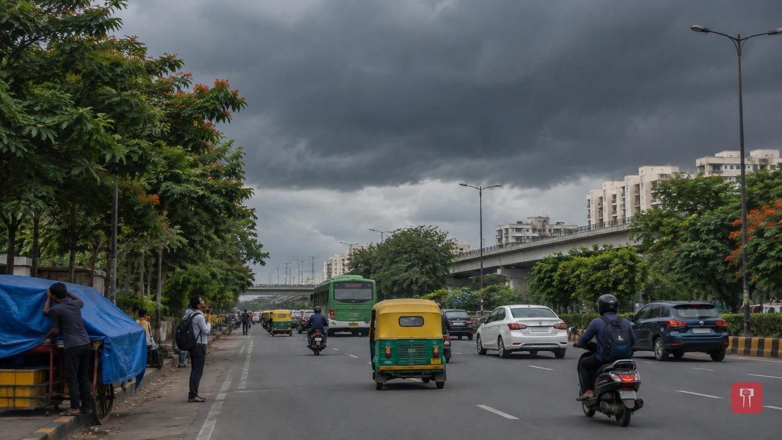
Even as the southwest monsoon withdraws from the country, the weather is likely to change again. According to the latest forecast of the India Meteorological Department (IMD), a new Western Disturbance will affect northwest India. Rain and snowfall are therefore likely in the western Himalayan region between October 6 and 10.
Light to moderate rain is forecast in Jammu and Kashmir, Ladakh, Himachal Pradesh and Uttarakhand between October 6 and 10. Higher reaches may also see snowfall. In some places, thunder and lightning may be accompanied by winds at 40 to 60 km per hour.
The system may also be felt in the plains of northwest India. Scattered rain and stormy winds have been forecast for Punjab, Haryana, Chandigarh, Delhi and parts of Uttar Pradesh between October 6 and 11.
In Delhi, the sky is expected to stay mostly clear on October 5, with the maximum temperature between 35 and 37 degrees Celsius. After that, under the influence of the Western Disturbance, light rain or drizzle, stormy winds and thunder and lightning are likely.
The sky in Delhi may remain partly cloudy for the next few days. The maximum temperature is forecast at 33 to 35 degrees Celsius and the minimum at around 21 to 23 degrees Celsius. The rain may bring the temperature down somewhat.
Rain is likely to intensify in south India as well as the north. Very heavy rain of 12 to 20 cm may fall in parts of coastal Karnataka and south interior Karnataka. A warning of heavy rain has also been issued for Tamil Nadu, Puducherry, Karaikal and Kerala. Rainy conditions are expected to continue in sub-Himalayan West Bengal, Sikkim, Arunachal Pradesh, Assam and Meghalaya in the northeast.
Several weather systems are currently active over different parts of the country, including a Western Disturbance, trough lines and cyclonic circulation. One trough runs from Gangetic West Bengal to central Maharashtra, and another is active from northwest Uttar Pradesh to east Bangladesh. A cyclonic circulation has formed over north interior Karnataka.
The northern limit of the monsoon's withdrawal is passing through Supaul, Ranchi, Raipur, Brahmapuri, Parbhani, Baramati and Harnai. While the monsoon is withdrawing, these various weather systems have created the possibility of rain again in many parts of the country.
