
What El Nino could mean for India, Maharashtra and Mumbai's water, experts explain
Weather experts say 'super El Nino' labels are exaggerated, but warn of water stress in Mumbai and Maharashtra, with January to May 2027 likely to be hard.
 Images are not validated/verified
The monsoon confused Mumbai this year, and October is running hot too. Names such as 'Super El Nino', 'Monster El Nino' and 'Godzilla El Nino' have added to people's worry. Weather experts say there is no need to be swayed by the noise, and explained what El Nino actually means for India, Maharashtra and Mumbai.
The Pacific Ocean, thousands of kilometres away, plays a big part in shaping weather across the world. Changes in sea surface temperatures and winds in the tropical Pacific create the El Nino-Southern Oscillation (ENSO), a naturally occurring climate cycle. The World Meteorological Organization (WMO) treats El Nino as the warm phase of ENSO and La Nina as the cold phase. The cycle generally returns every two to seven years, and the strength of an El Nino is measured by the Oceanic Nino Index (ONI).
The WMO expects this year's El Nino to peak around December. But such forecasts rest on probability, so its final strength and duration are not yet clear. According to independent weather expert Athreya Shetty, names like 'super', 'monster' and 'Godzilla' are excessive. "Such events are generally classed as weak, moderate, strong or very strong. We saw such a very strong El Nino form in the 1970s and in 2015, and this year is similar. To call it something like 'super', these high temperatures would have to last a few months," he said.
Another independent weather expert, Rushikesh Agre, said the ONI gauges the state of ENSO from the three-month average difference in sea temperature in the Nino 3.4 region of the Pacific. According to Agre, these indices are still evolving. He said the forecast model is a possibility, not a reality, and that weather forecasts are like the stock market, constantly changing shape and not right every time.
So should India worry? El Nino raises the risk of a below-normal south-west monsoon in India, but the outcome does not rest on it alone. Dr Akshay Deoras, senior research scientist at the University of Reading, UK, said El Nino brings a drought-like pattern to Maharashtra, as in 1972 and 2015, but it is not the only factor deciding the severity of drought. In his view, long dry spells in the monsoon can worsen matters by affecting groundwater recharge and crops. A day with less than 2.5 mm of rain is called a dry day. This year, south and central Maharashtra had 59 such days in a row. Longer spells were seen in 2018, 2015 and 1972, but this time such spells have spread over a larger area than in 2018.
Other factors also affect the monsoon, such as the Madden-Julian Oscillation (MJO) and the Indian Ocean Dipole (IOD). Their combination with El Nino can either amplify or reduce its effect.
Does El Nino always mean drought? No. Rainfall deficits are not uniform across the country, or even within Maharashtra. Local geography can produce very different outcomes. Independent weather expert Rajesh Kapadia, who runs the blog 'Vagaries of the Weather', said Mahabaleshwar received about 6,442 mm of rain this year and Tamhini Ghat about 9,311 mm. Santacruz in Mumbai and Goa are all coastal, yet Mumbai got decent rain while Goa had a 48 per cent deficit. According to Kapadia, rainfall has to be forecast by looking at several factors together, because the monsoon can differ even with the same Nino 3.4 reading.
The question of the climate crisis has also been raised. El Nino is a natural phenomenon, but it occurs against the backdrop of long-running global warming, and experts advise against conflating the two. Shetty said warming of the Pacific is normal and there is no evidence that El Nino has begun to occur more often. But global warming has raised sea temperatures, so we may feel the effects somewhat more, he said.
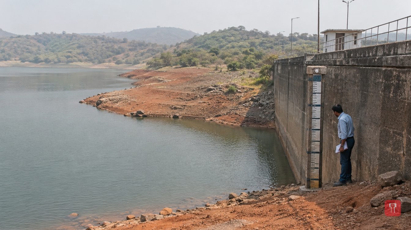
Water remains a worry for Mumbai because monsoon rain was uneven. The city currently has a 10 per cent water cut, and Mayor Ritu Tawde has warned that El Nino could add to the pressure on supply. According to Agre, rising temperatures could increase the water lost to evaporation from reservoirs and catchments. He said that in the present situation, cuts may also have to be imposed on construction and infrastructure sites. However, any such restriction would depend on the authorities' decision and on the water situation at the time.
There are questions about winter as well. Experts say a warm winter is possible but not certain. According to Shetty, western disturbances from north India cool the winter, but for the cold to reach the south there must be gaps between these disturbances. He said Mumbai may see a short winter in November and December, with a few days of milder cold waves. Experts also say the current El Nino forecast says nothing about the 2027 monsoon. The first rough forecast for it is expected around April or May next year.
Maharashtra has declared drought-like conditions in 305 of its 358 talukas, including Marathwada and other regions. Total rainfall in the state was within the normal range on several occasions, but because of uneven distribution in time and place, many areas face a water crisis.
Bikram Singh, head of the IMD's regional weather centre, said that in the 17 weeks of the monsoon, only five or six weeks had normal or above-normal rain and all the rest saw deficits. As a result, a lot of water runs off and catchments are not recharged properly. Rivers and streams dry up quickly, and even though Mumbai's lakes are reasonably full, they too would empty fast under normal supply. Singh warned that January to May 2027 could be difficult for water, with an impact on drinking water, farming and hydropower generation. In the coming months, the IMD's forecasts and reservoir levels will be key to judging the scale of the water crisis.

Comments
No comments yet. Be the first.