

PMRDA to use one mobile survey app to track illegal construction, encroachment and fire safety
 Images are not validated/verified
The Pune Metropolitan Region Development Authority is bringing in a GIS-based system that four departments will use to record inspections and violations on site.
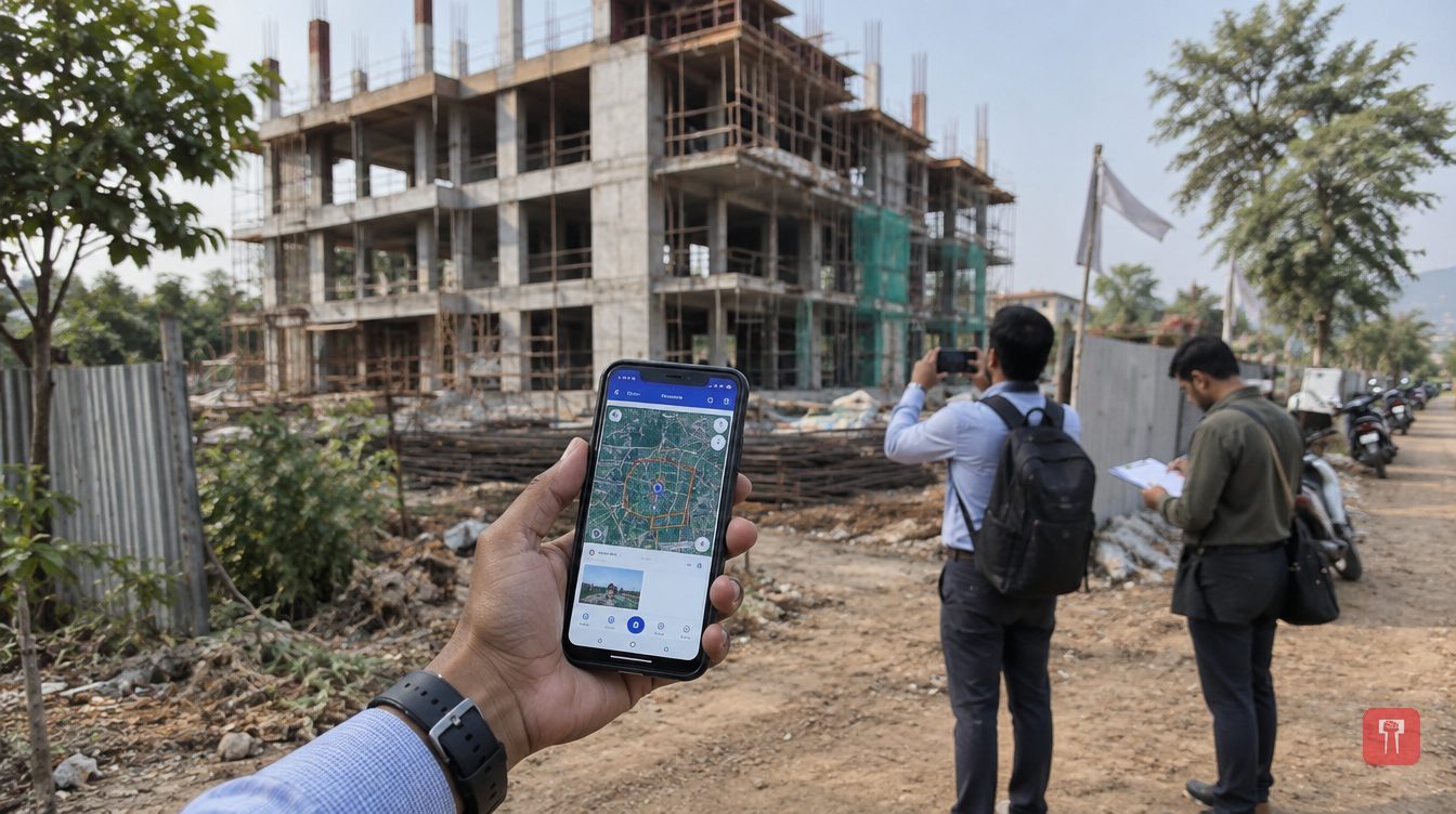
The Pune Metropolitan Region Development Authority (PMRDA) is introducing a GIS-based digital system to monitor illegal construction, encroachment on government land and compliance with fire safety rules in its area. Four departments will work from a single survey mobile app, in which officials can record inspections and violations from the spot.
The app will be used by the land and property department, the unauthorised construction department, the building permission department and the fire department. On site visits, officials will be able to upload GPS coordinates, photographs, property details, inspection reports and other documents.
PMRDA has given initial training to the officials and staff concerned. The authority has not said by when the system will be fully operational.
Deepak Warade, director of development permission and planning at PMRDA, said the app would improve the collection of data on site and also strengthen coordination among the four departments. According to him, officials will be able to record their department's information during inspections, making GIS-based inspections and the disposal of cases easier.
The system will link existing building permission records with GIS maps and with satellite or drone technology that detects changes. Officials will compare images from different times to spot new buildings, extensions, changes in land use and construction on plots that were earlier vacant.
These findings can be matched against building permissions approved by PMRDA to identify illegal extensions, additional floors and misuse of property. The app will also hold a case-wise record of inspections, notices, replies, re-inspections and action taken, which will help in following up on complaints.
The move comes as PMRDA is running a campaign against illegal construction. Between January and September 2026, the authority removed 919 illegal constructions and 153 unauthorised hoardings. PMRDA already uses GIS mapping and drone surveys to identify planning and unauthorised construction. The new app is meant to link these digital records with inspections on the ground.
The land and property department will use the app to map government land, reserved plots, PMRDA's own properties, acquired land and plots proposed for acquisition. Officials will be able to record each property's use, who holds possession, and details of access routes, fencing and encroachment. Photographs, coordinates and inspection notes will stay linked to each plot.
Each plot will get a unique property ID so that its area, village, taluka, survey number, ownership, possession status and related documents are held in one digital record. The app will also be linked to CORS-based GNSS rover equipment used by land surveyors, so that actual measurements can be matched with digital maps and records.
The fire department will record building inspections through the app and monitor compliance with the rules. Officials will be able to enter a building's location, use, number of floors and the status of its fire NOC application. Inspections will cover fire hydrants, pumps, water tanks, alarms, smoke detectors, sprinklers, emergency exits, staircases, refuge areas and fire lifts, along with the access route and turning space for fire engines.
When a deficiency is found, officials will be able to upload geo-tagged photographs, record instructions given to the building owner and set a deadline for fixing it. Re-inspections will also be recorded in the app. The process has four steps: selecting the building from the GIS portal or permission database, inspecting the site, recording deficiencies and their rectification, and verifying the findings before a report is generated. Officials said these reports will also be used in the fire clearance process.
The building permission department will use the system to check whether construction matches the approved plan. This covers plot boundaries, building position, setbacks, open space and progress of work. The department will also hold records of completion status, occupancy certificates and changes made through revised permissions. The locations of construction-related complaints can be recorded and linked to inspection reports and action taken.
A separate compliance module will cover large projects, townships and industrial or commercial construction. It will keep records of environmental clearance, its validity and compliance with its conditions. These include tree plantation, green areas, rainwater drainage, sewage treatment plants, rainwater harvesting and fire NOC.
Reach readers on the ward they actually live in.
Advertise with Prime Time 24Reach readers on the ward they actually live in.
Advertise with Prime Time 24Reach readers on the ward they actually live in.
Advertise with Prime Time 24Choose primetime24.com as a preferred source on Google Google shows more stories from your preferred sources in Top Stories.
Reach readers on the ward they actually live in.
Advertise with Prime Time 24
Comments
No comments yet. Be the first.